|
5月21日(月):自宅発 ~ 郡山市 ~ 福島市 ~ 道の駅「つちゆロードパーク」
R121。先ずは初日。福島で一泊。
First day is the first day. One night stay in Fukushima.
|
|
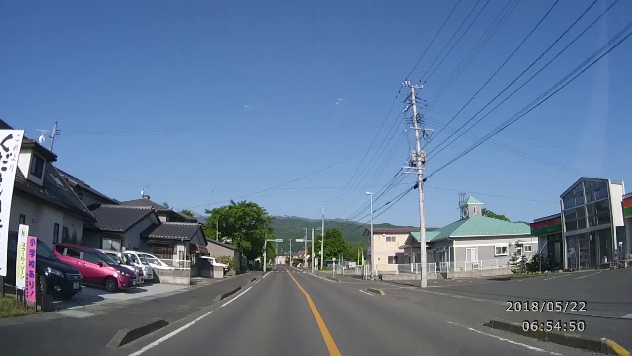
5月21日(月)10:18
May 21 (Mon) 10:18 (0'53") |
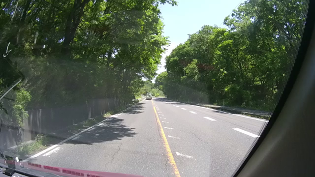
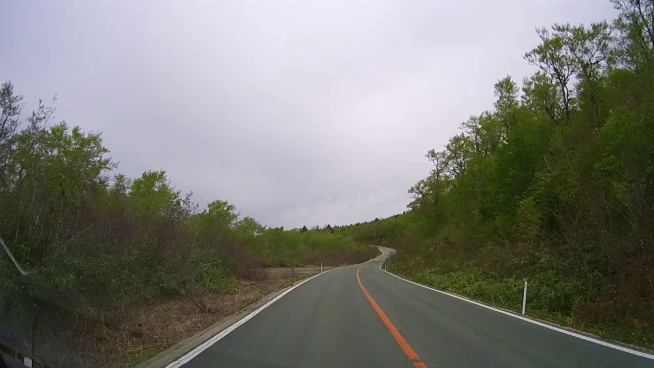
出発して4時間ぐらい那須の4号線を走行。
I running a vehicle on National Highway No.4
in Nasu for about 4 hours after departing. |
|
|
|
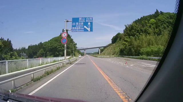
8月21日(月)10:32
May 21 (Mon) 10:32 (1'44") |
栃木県那須町:白河市手前
Nasu town, Tochigi Prefecture:Shirakawa city front. |
|
|
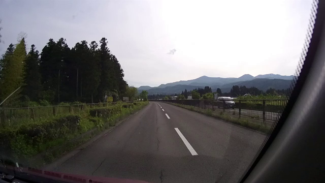
5月21日(月)15:57
May 21 (Mon) 15:57 (1'10") |
山並みが見えてきた。
The mountain ranges are coming. |
|
|
|
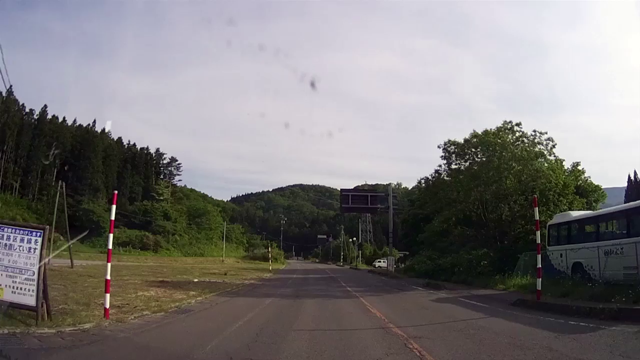
8月21日(月)16:25
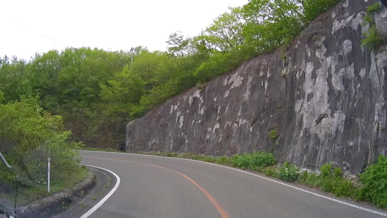
May 21 (Mon) 16:25 (1'40") |
徐々に高所へ
Gradually go to the high altitude |
|
|
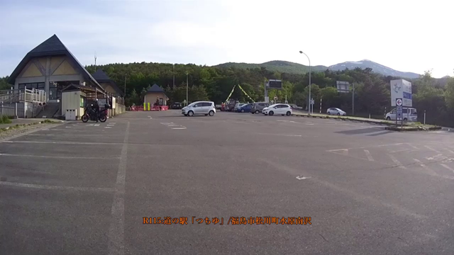
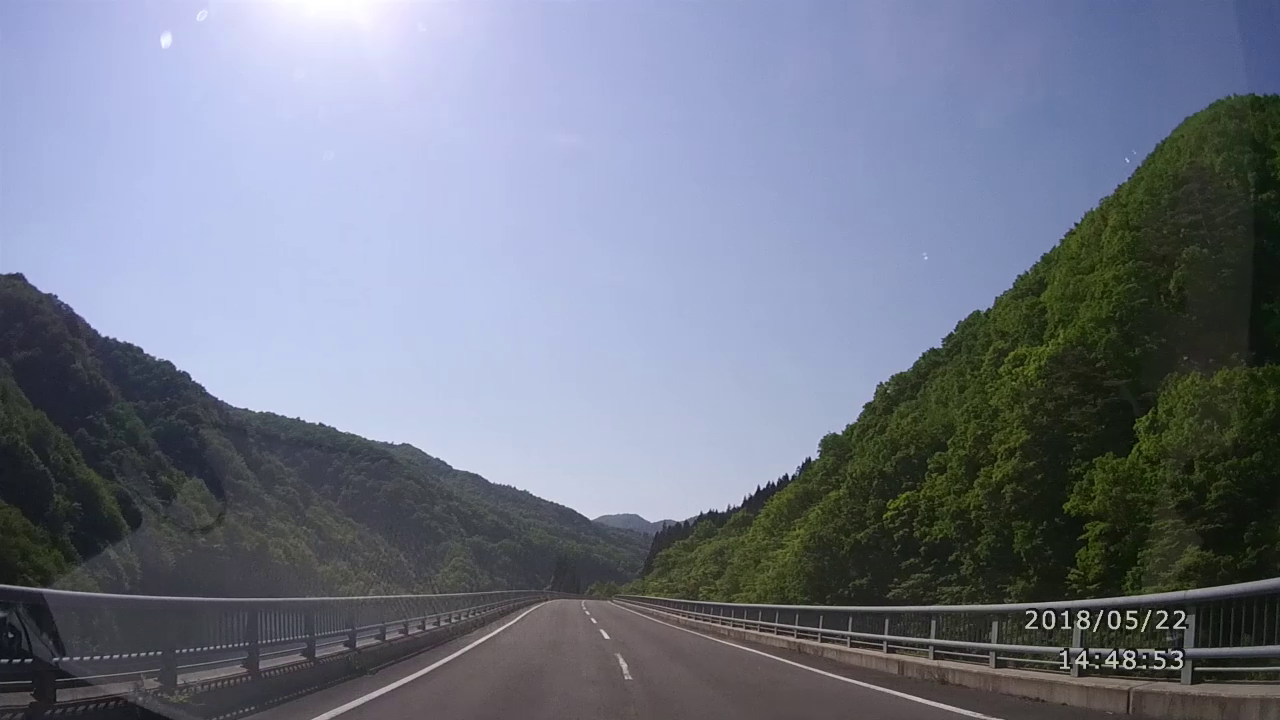
5月21日(月)16:59
May 21 (Mon) 16:59 (0'21") |
道の駅「つちゆ」
MichinoEki "Tsuchiyu" |
|
|
|
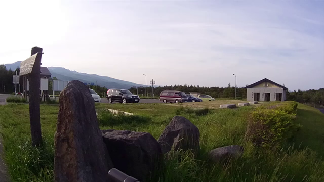
8月21日(月)17:0325
May 21 (Mon) 17:03 (0'31") |
道の駅「つちゆ」から望む
View of the view from MichinoEki "Tsuchiyu" |
|
|
5月22日(火):道の駅「つちゆロードパーク」発 ~ 磐梯吾妻スカイライン ~ 道の駅「たかはた」
今回は写真よりも動画が多く、内容もいいと自画自賛です。今日は天気も良く素晴らしいラインでした。
|
|
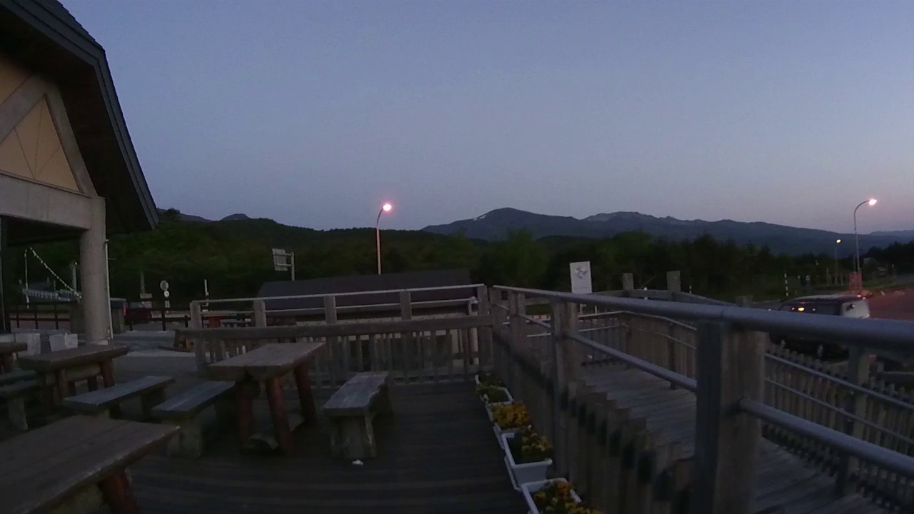
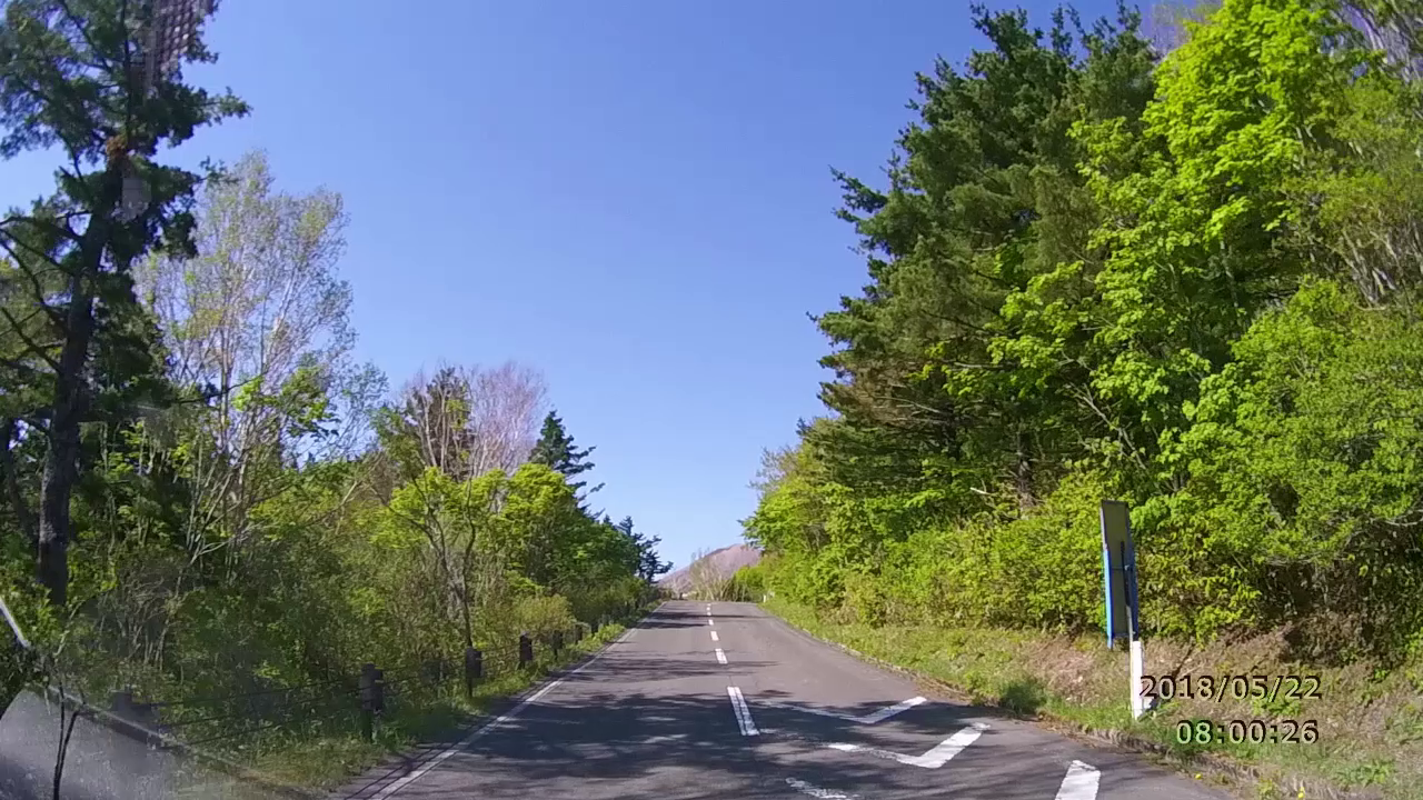
5月22日(火)4:13
May 22 (Tue) 4:13 (1'15") |
R115:道の駅「つちゆ」から眺む。夜明けと鳥のさえずり
View of the view from MichinoEki "Tsuchiyu".Dawn and bird chirping. |
|
|
|
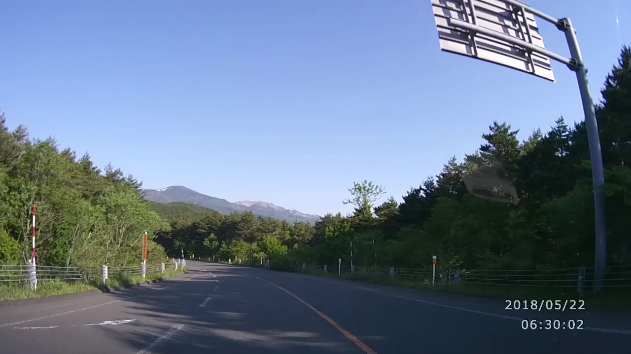
5月22日(火)6:31
May 22 (Tue) 6:31 (2'31") |
好天に恵まれ、道の駅を出て、土湯バイパスを下ってスカイラインへ
R115: Tsuchiyu bypass.Blessed with good weather, leave the MichinEki, go down the Tsuchiyu bypass and go to the skyline. |
|
|
5月22日(火)6:55
May 22 (Tue) 6:55 (1'12") |
県道70:もうすぐ山道へ
Prefectural road 70:To the mountain road soon |
|
|
|
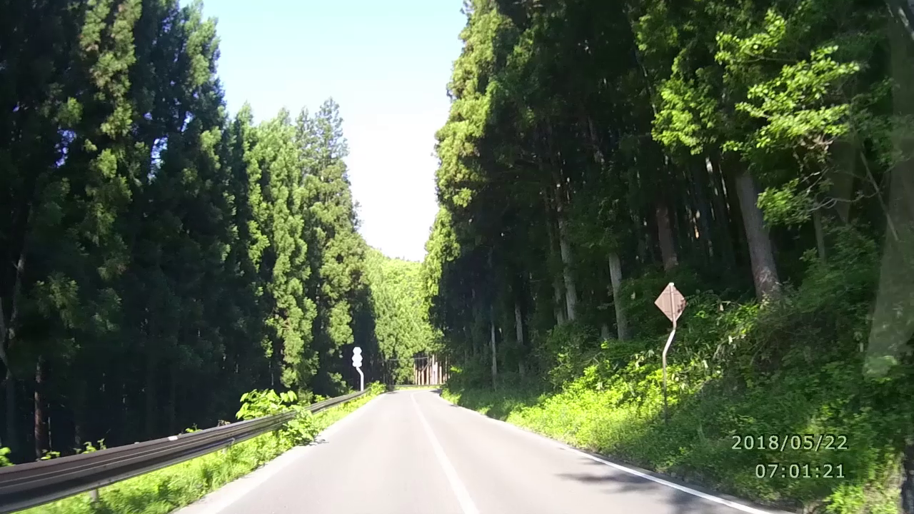
5月22日(火)7:02
May 22 (Tue) 7:02 (1'00") |
深緑の中を長閑にゆっくりとドライブ
Drive slowly in the dark green. |
|
|
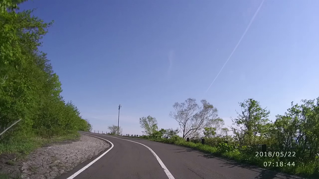
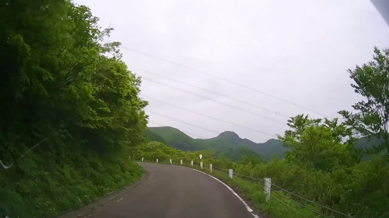
5月22日(火)7:19
May 22 (Tue) 7:19 (0'27") |
そろそろ高所にさしかかってきました
I am approaching a high altitude soon. |
|
|
|
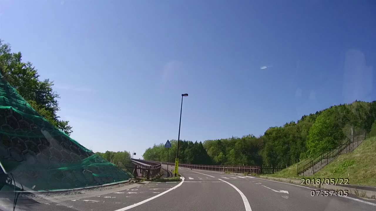
5月22日(火)7:57
May 22 (Tue) 7:57 (1'01") |
つばくろ谷、不動沢橋を超えて登っていく。
I climb over the Tsubakuro Valley, Fudosawa Bridge. |
|
|
5月22日(火)8:02
May 22 (Tue) 8:02 (3'51") |
高原にに入る。眼下に山を見ながら、焼けた山肌を奔る
Enter the plateau. While watching the mountains under my eyes, I driving the burning Mountain skin. |
|
|
|
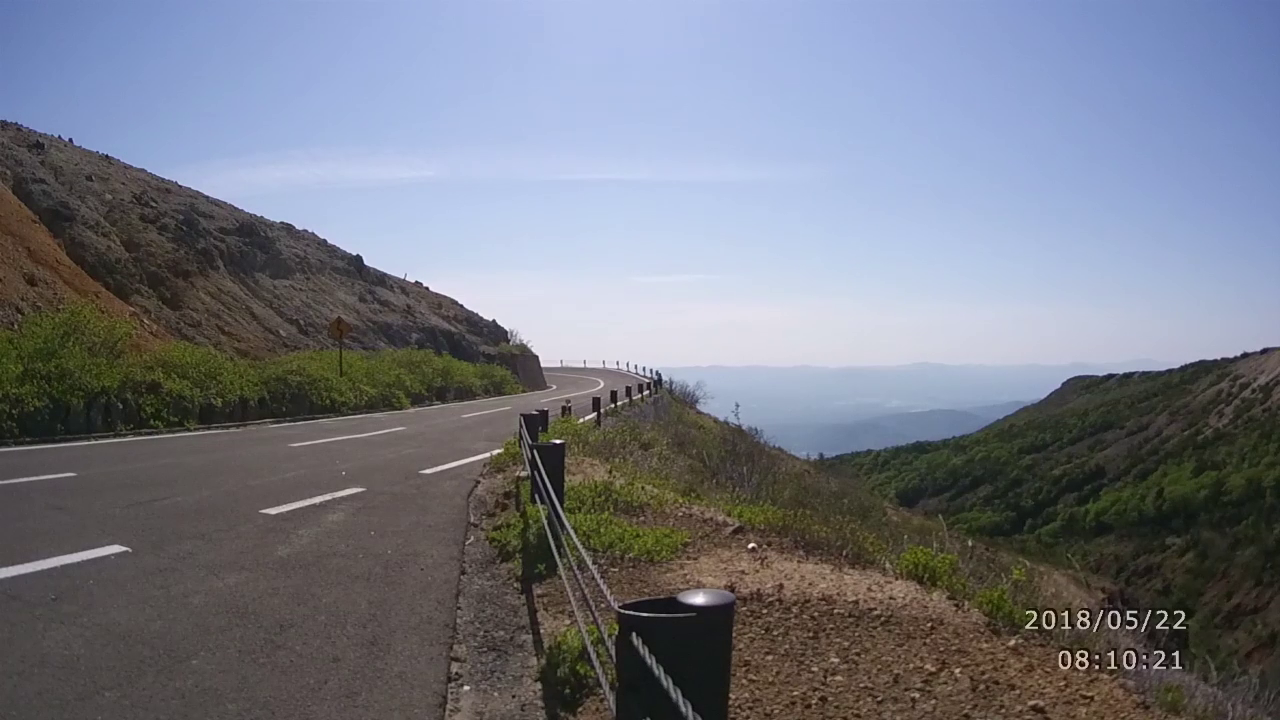
5月22日(火)8:11
May 22 (Tue) 8:11 (1'19") |
県道70:磐梯吾妻スカイライン / PhotoSpot
Prefectural road 70:Bandai Azuma skyLine/PhotoSpot |
|
|
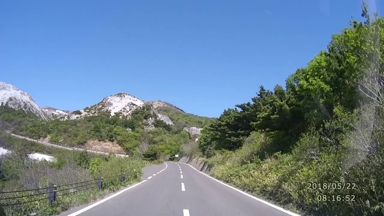
5月22日(火)8:24
May 22 (Tue) 8:24 (7'30") |
絶句!いよいよクライマックス。
焼けた山肌に続くスカイライン。落石注意!
注意!火山性ガス。いざご覧ください。
Absurd! Finally the climax.
Skyline following burned mountain skin. Rock fall warning!
Caution! Volcanic gas. Please have a watch. |
|
|
|
5月22日(火)8:29
May 22 (Tue) 8:29 (4'52") |
大空に浮かぶ山並みを観ながら下りのクランクを奔る。
Watch the mountain ranges floating in the sky and driving down cranks. |
|
|
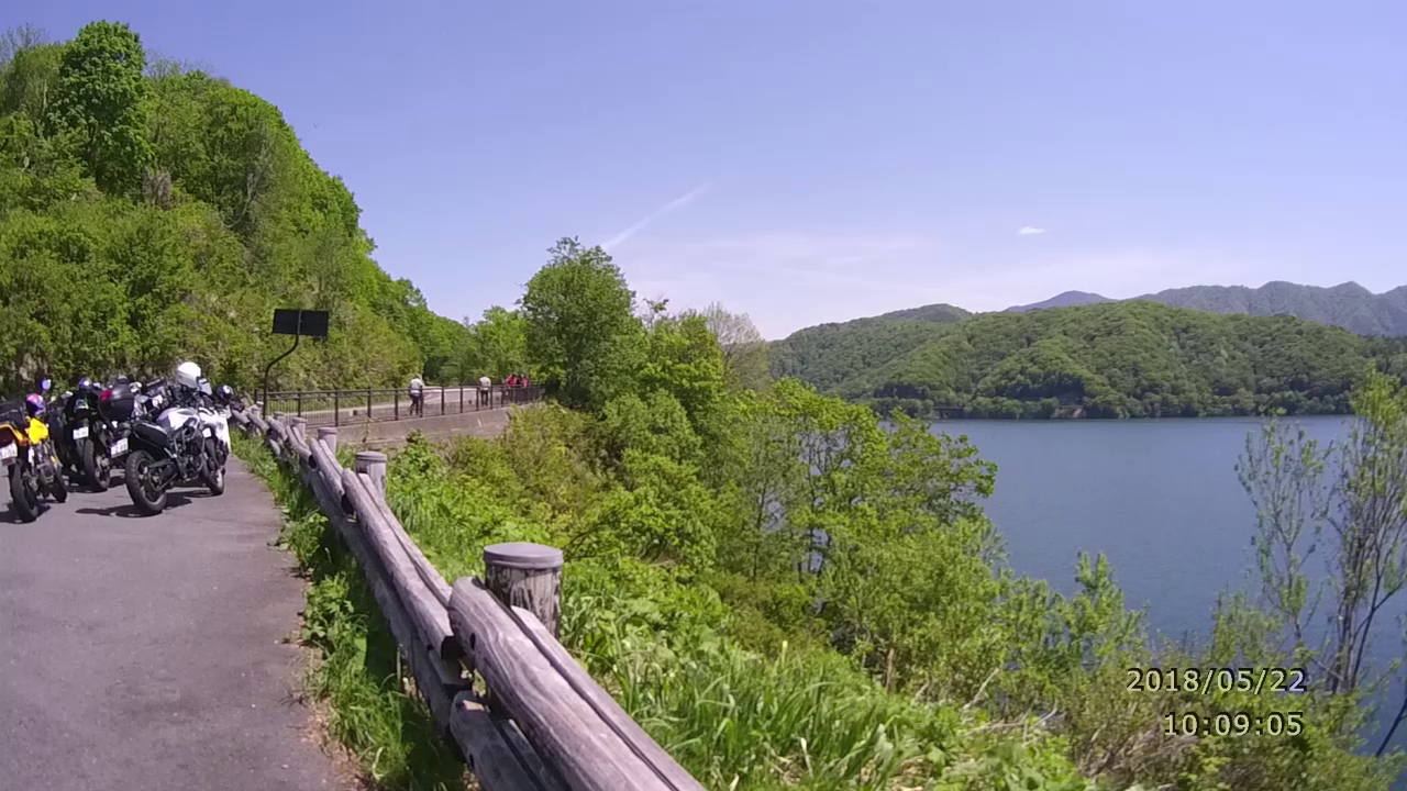
5月22日(火)10:09
May 22 (Tue) 10:09 (0'44") |
県道64:磐梯山眺望箇所/桧原湖から望む
Prefectural road 64: Mt. Bandai mountain view / View from Hihara lake. |
|
|
|
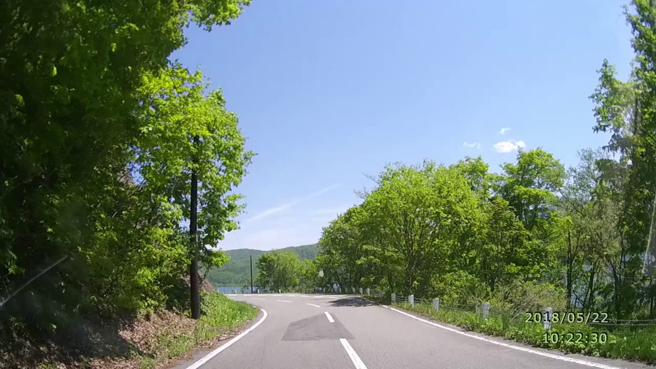
5月22日(火)10:24
May 22 (Tue) 10:24 (1'23") |
県道64:磐梯吾妻レークライン/桧原湖
Prefectural road 64: Bandaiazuma Lakeline / Hihara Lake |
|

|
5月22日(火)10:34
May 22 (Tue) 10:34 (2'12") |
東鉢山七曲り。気持ちのいい上りのスピンカーブ
HigasiHachi Mountain seven curve. Pleasant uphill spin curve |
|
|
|
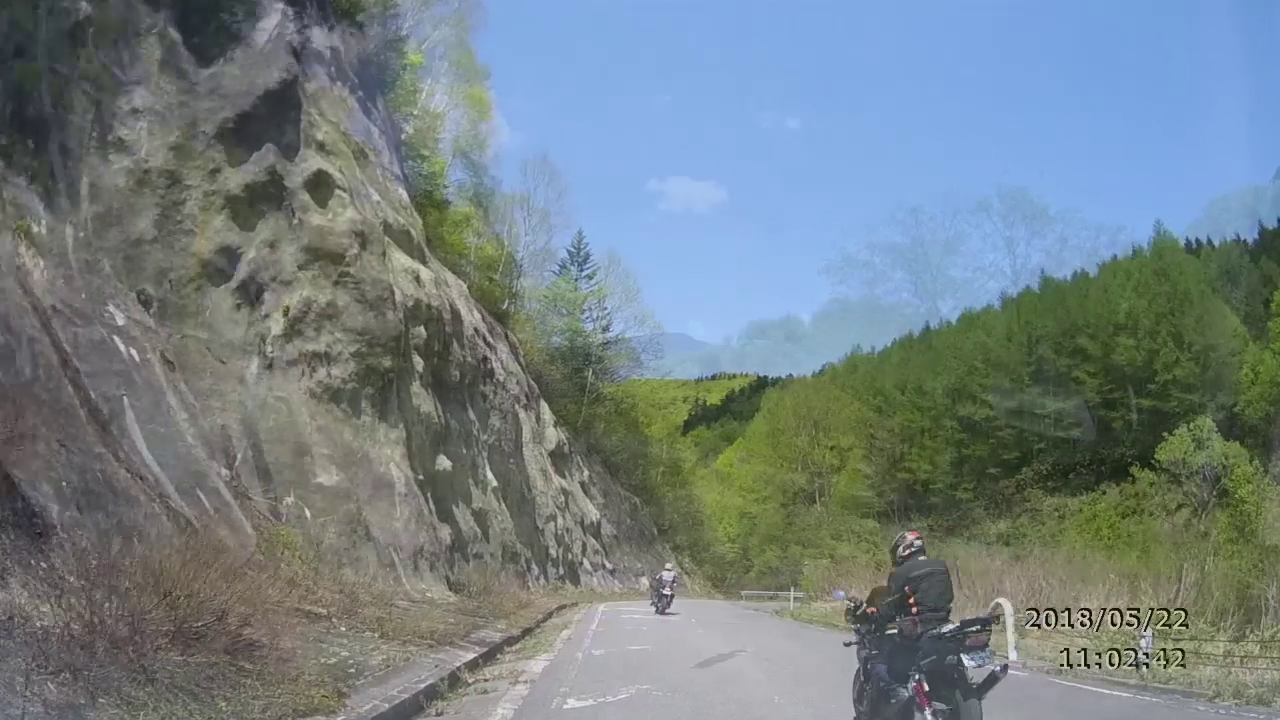
5月22日(火)11:01
May 22 (Tue) 11:01 (13'03") |
県道2:西吾妻スカイバレー下り。2台のバイクを追尾。
Prefectural road 2: Nishi Azuma Sky Valley descent. Track two bikes. |
|
|
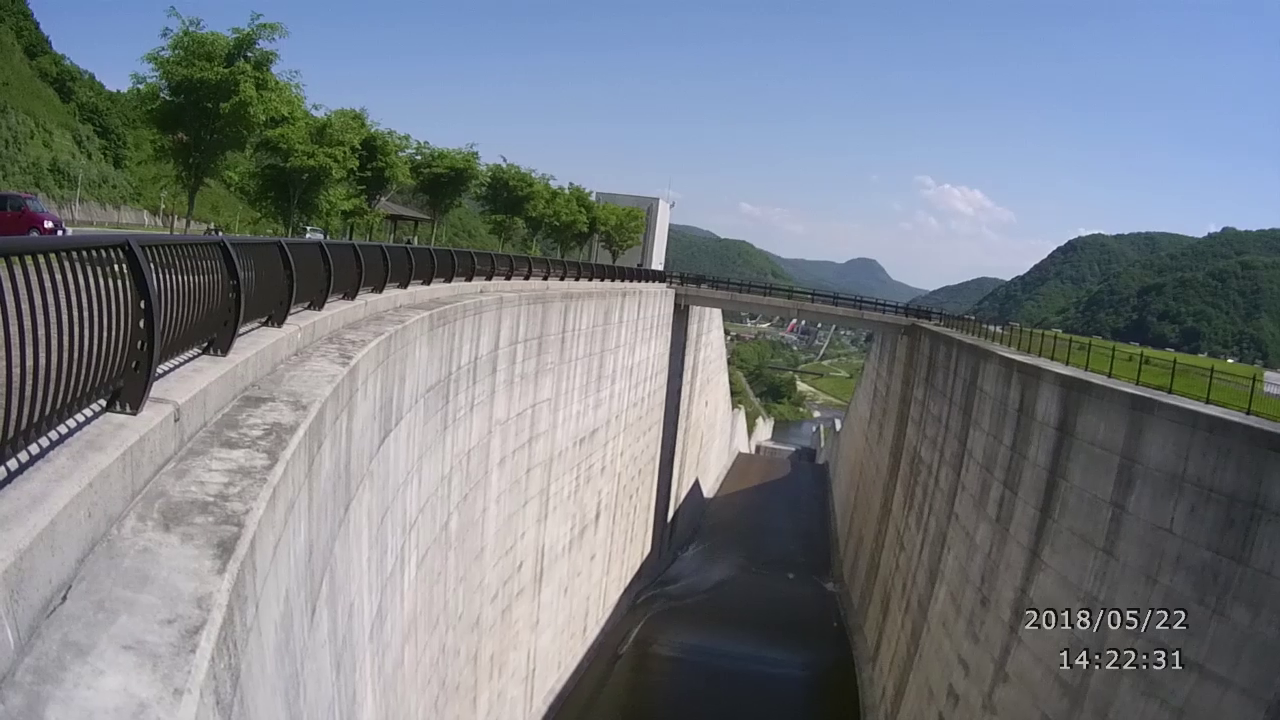
5月22日(火)14:22
May 22 (Tue) 14:22 (2'42") |
R399:摺上川ダム:茂庭っ湖
R399: Surikami River Dam: Moniwakko Lake |
|
|
|
5月22日(火)14:55
May 22 (Tue) 14:55 (9'07") |
R399:福島から宮城に入り山形へ抜ける予定が、山形側工事中で通行止め。引き返す。
R399: We are planning to enter Miyagi from Fukushima and get out to Yamagata, but it is closed to Yamagata side construction. Go back. |
|
|
5月23日(水):道の駅「たかはた」発 ~ 蔵王エコーライン ~ 最上川並走 ~ 道の駅「庄内みかわ」
少し曇りで残念でしたが、雲上のエコーラインは気持ちよく走ることができました。
|
|
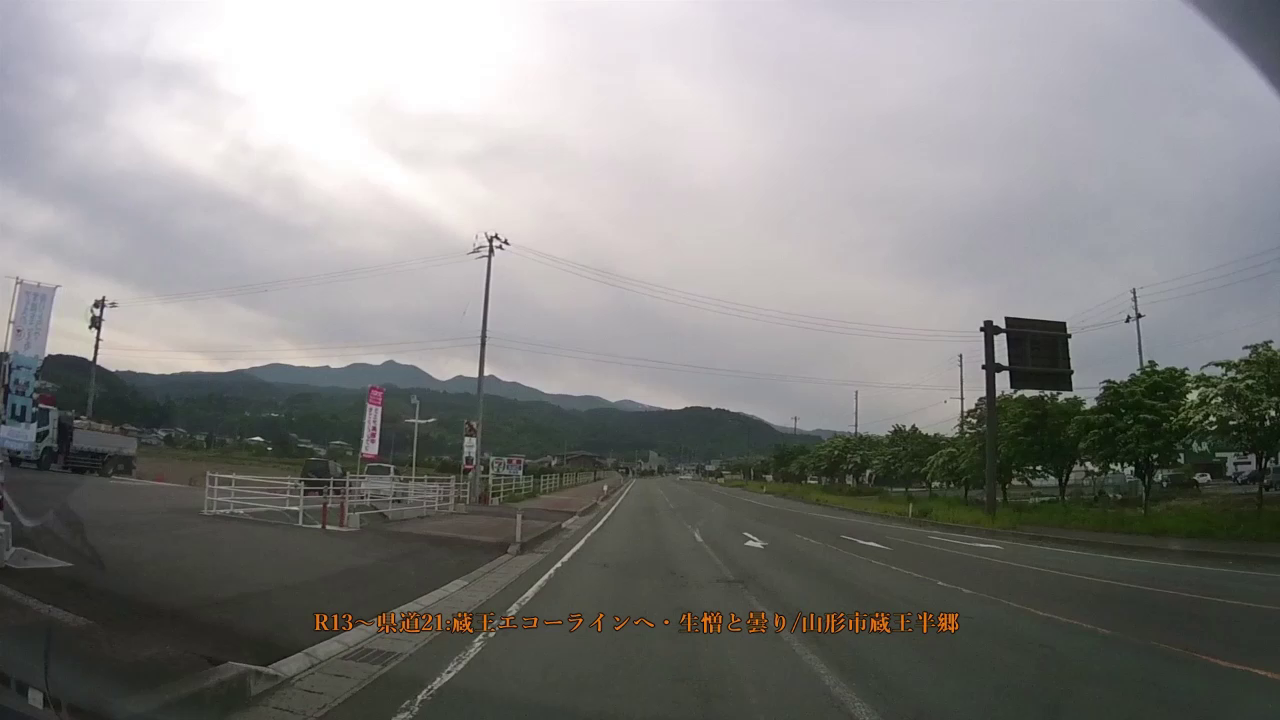
5月23日(水)7:09
May 23 (Wed) 7:09 (0'34") |
R13~県道21:蔵王エコーラインへ
R13~Prefectural road 21: To Zao Echo line |
|
|
|
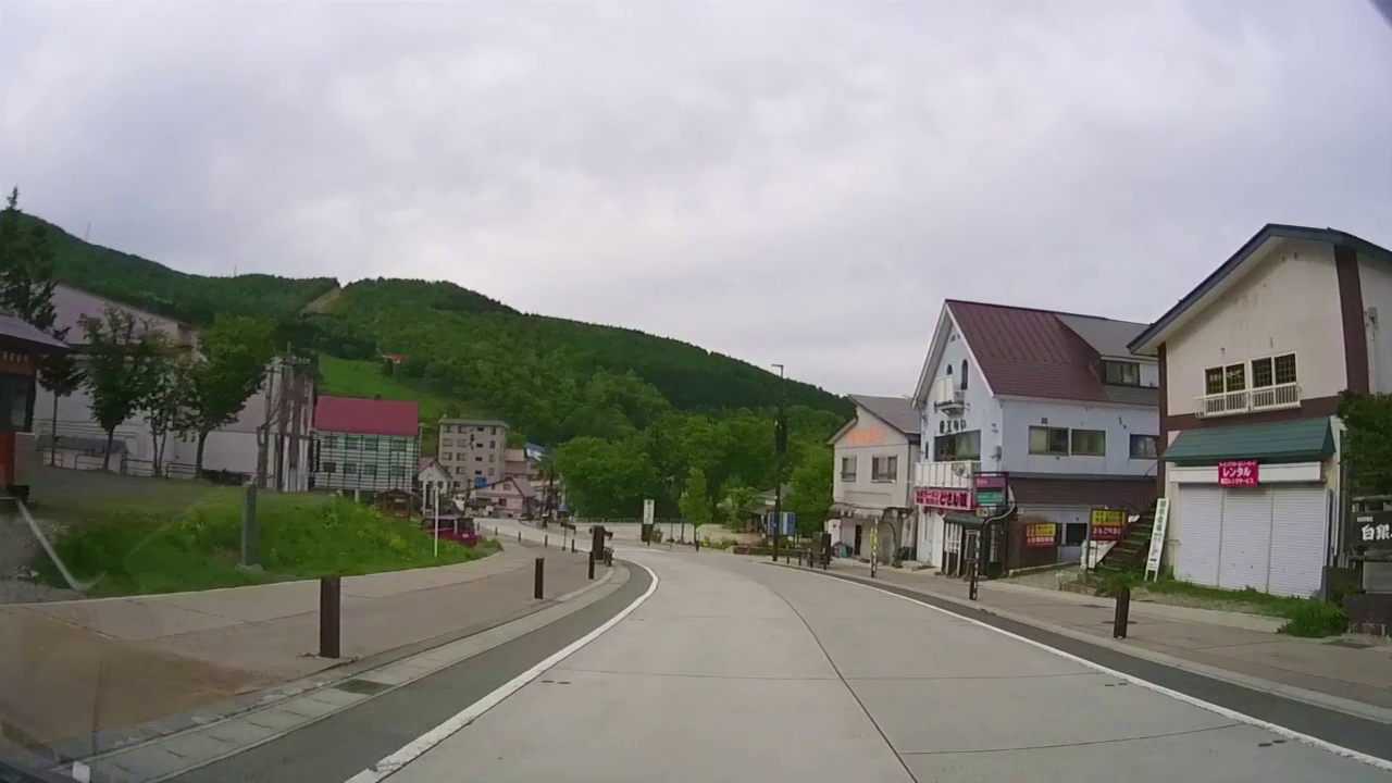
5月23日(水)7:29
May 23 (Wed) 7:29 (3'10") |
県道53:蔵王ライン・蔵王温泉街を通過。
Prefectural road 53: Pass through Zao line and Zao Onsen area. |
|
|
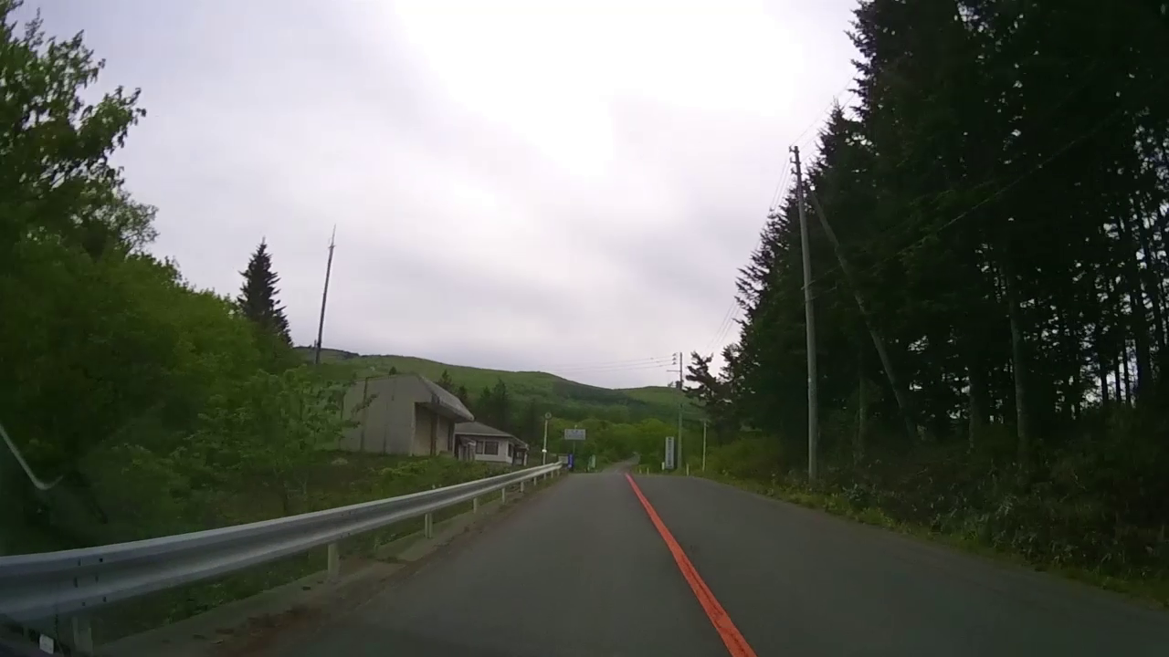
5月23日(水)8:09
May 23 (Wed) 8:09 (4'36") |
県道12:蔵王エコーライン/曇りが残念!
Prefectural road 12: Zao Echo Line / Cloudy is regrettable! |
|
|
|
5月23日(水)8:10
May 23 (Wed) 8:10 (10'52") |
県道12:蔵王エコーライン/いよいよクライマックス・感動の残雪と雲海。
Prefectural road 12: Zao echo line / Climax at last ・ Impressive residual snow and sea of clouds. |
|
|
5月23日(水)8:46
May 23 (Wed) 8:46 (0'42") |
県道12:蔵王エコーライン/下りのカービング
Prefectural road 12: Zao echo line / descending carving. |
|
|
|
5月23日(水)9:47
May 23 (Wed) 9:47 (10'09") |
R475からR286:笹屋峠超え。
R475 to R286: Sasaya Pass crossing over. |
|
|
5月24日(木):道の駅「庄内みかわ」発 ~ 鳥海山 ~ 厳美渓 ~ 道の駅「厳美渓」
期待した鳥海山は生憎と雨で、全くの霧の中をドライブしてきました。
|
|
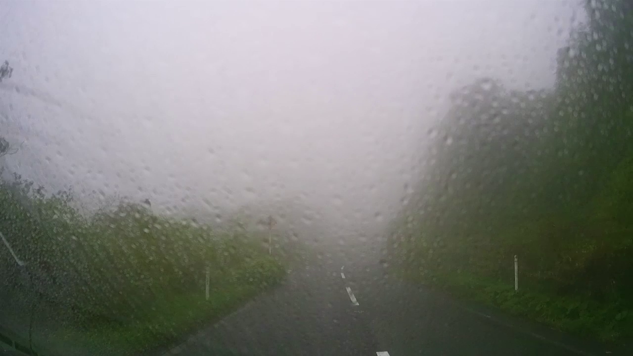
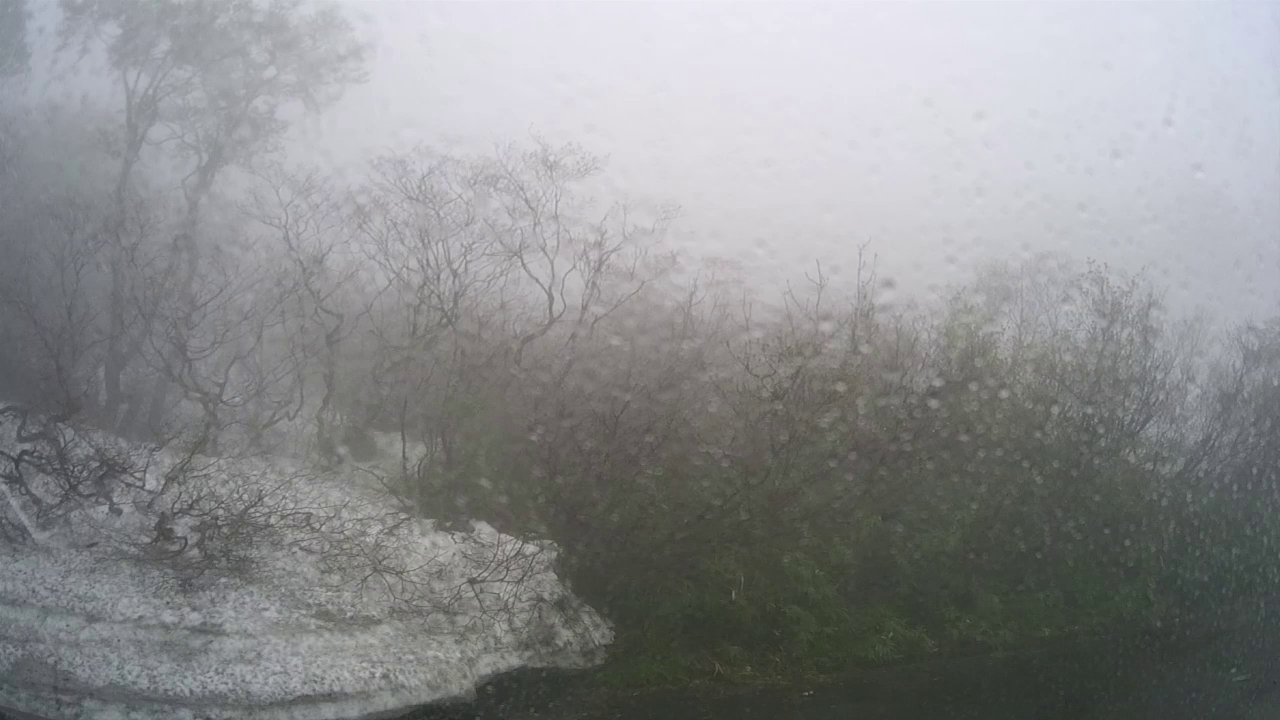
5月24日(木)9:55
May 24 (Thu) 9:55 (7'46") |
県道210:鳥海山登り・全くの霧の中!!
Prefectural Highway 210: Climbing Mountain Chokai Mountain. ・ In the fog at all!! |
|
|
|
5月24日(木)10:22
May 24 (Thu) 10:22 (5'26") |
県道210:鳥海山下り・全くの霧の中!!
Prefectural Highway 210: Descending Chokai Mountain in a fog at all!! |
|
|
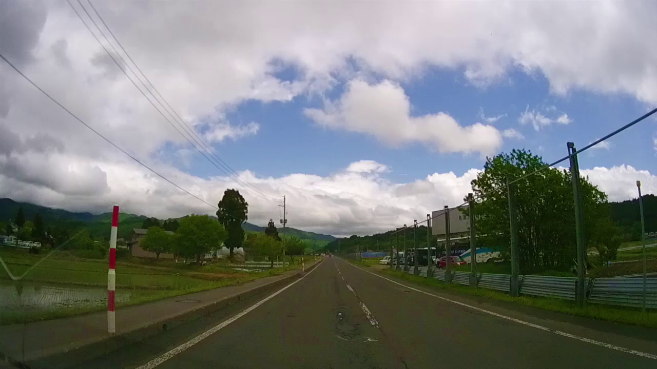
5月24日(木)12:20
May 24 (Thu) 12:20 (1'21") |
R108:矢島街道/打って変わって快晴!気持ちい青空と白雲。
R108: Yajima Highway / It's a funny beating! Feeling blue skies and white clouds. |
|
|
|
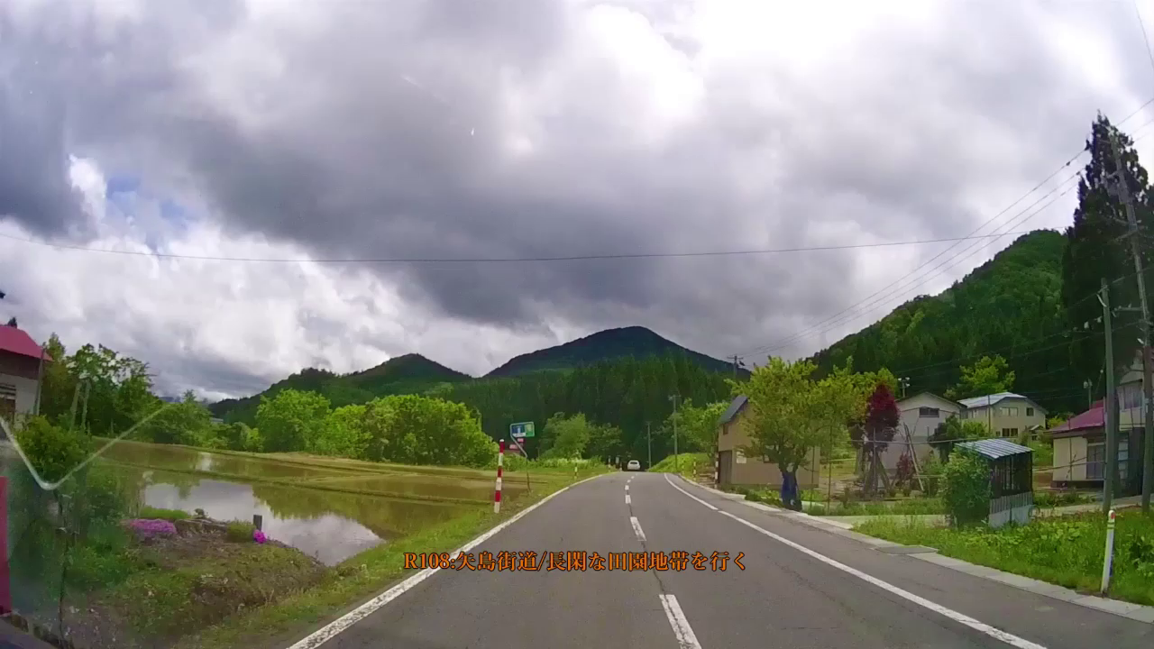
5月24日(木)12:34
May 24 (Thu) 12:34 (0'35") |
R108:矢島街道/長閑な田園地帯を行く。
R108: Yajima Kaido / Going through a calm countryside. |
|
|
5月24日(木)13:56
May 24 (Thu) 13:56 (6'18") |
R13から県道51:空一面に広がる圧倒的な白雲に心を奪われる。
Prefectural Route 51 from R13: I am deprived of the heart by overwhelming white clouds spreading all over the sky. |
|
|
|
5月24日(木)14:15
May 24 (Thu) 14:15 (2'02") |
R398:栗駒山へ。
R398: To Mt. Kurikoma. |
|
|
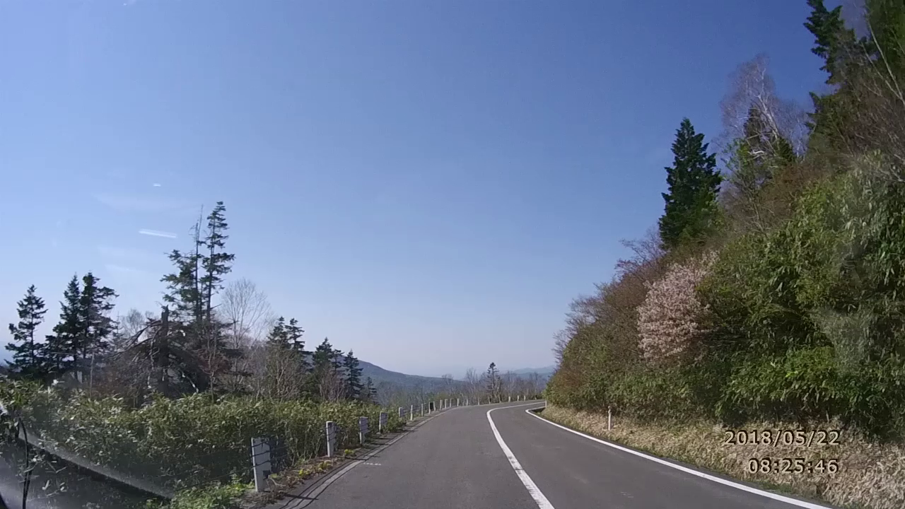
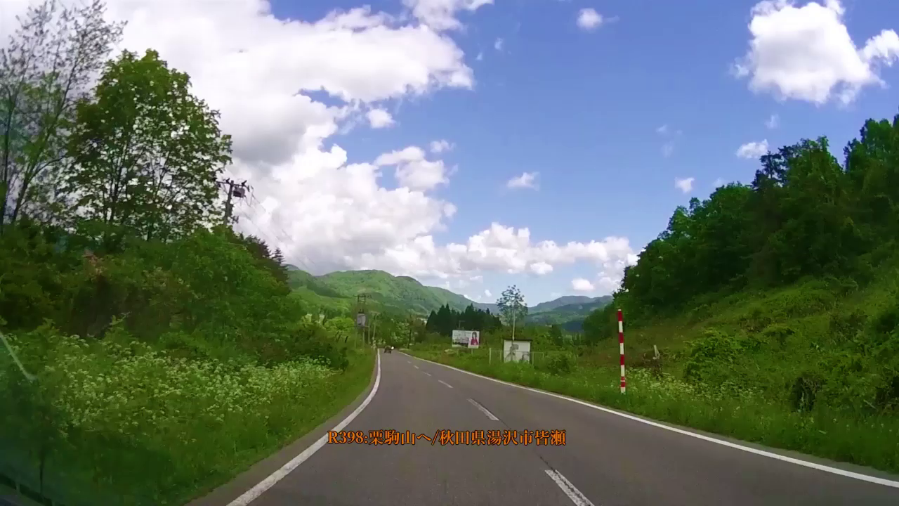
5月24日(木)14:29
May 24 (Thu) 14:29 (1'18") |
R398:栗駒山へ。
R398: To Mt. Kurikoma. |
|
|
|
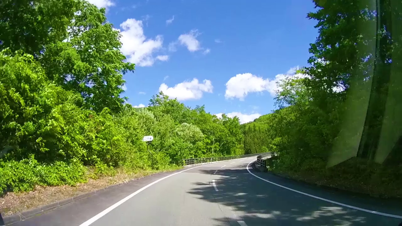
5月24日(木)14:39
May 24 (Thu) 14:39 (3'48") |
R398:栗駒山へ/残念!R282通行止め!
R398: To Mt. Kurikoma / disappointment! R282 Road closure. |
|
|
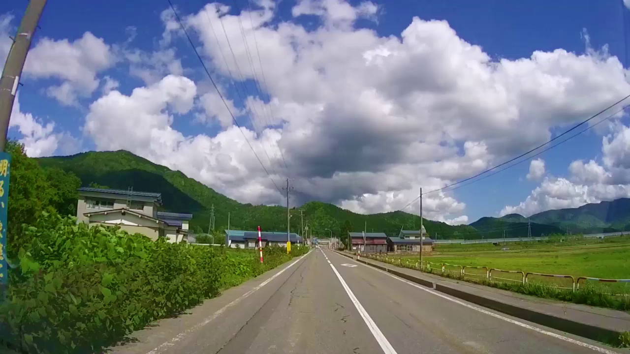
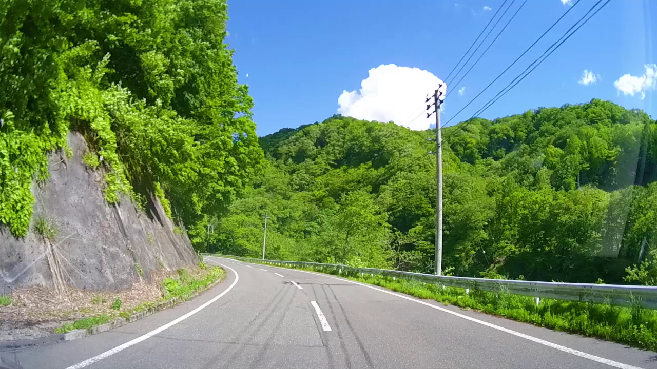
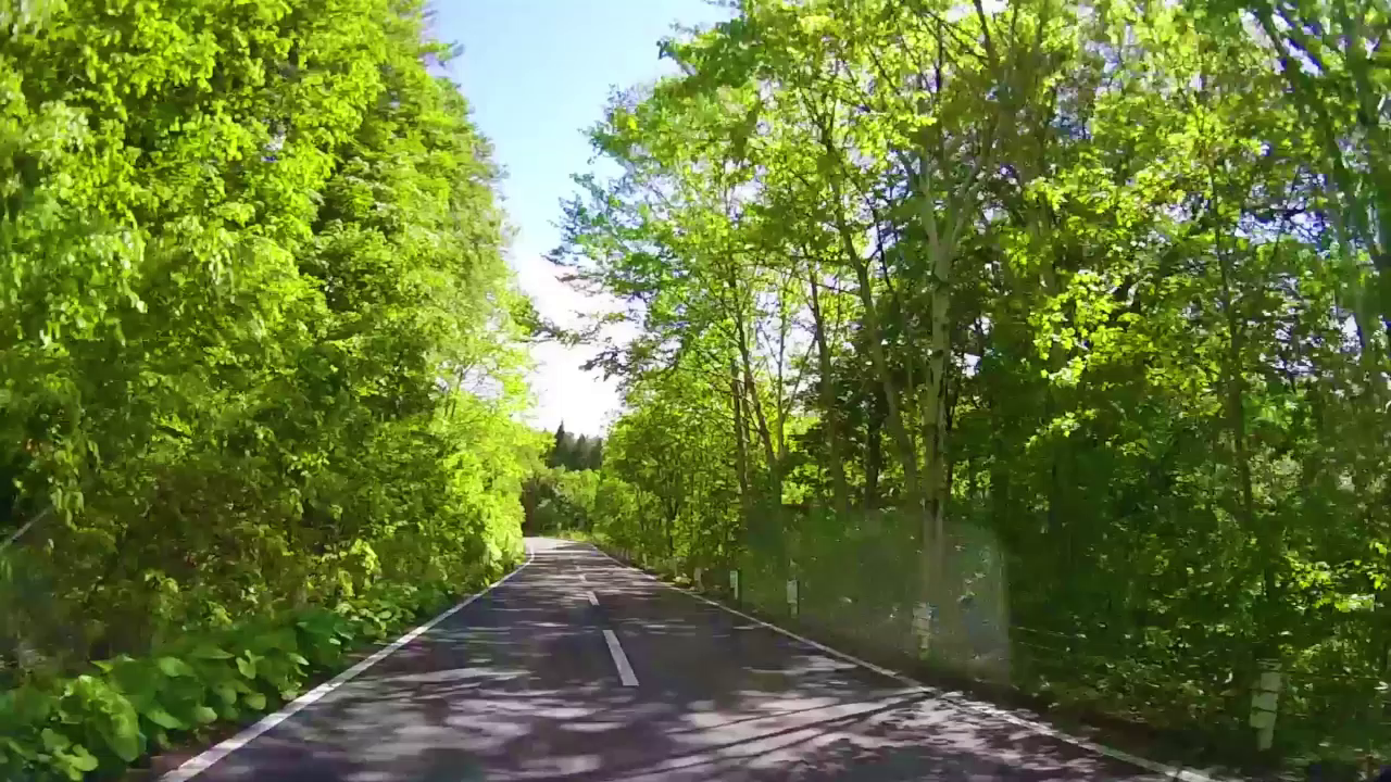
5月24日(木)14:46
May 24 (Thu) 14:46 (5'39") |
R398:深緑!大きく広がる青空!優雅に浮かぶ白雲!すべてがみどり。
R398: Dark green! Blue sky spreading widely! White clouds floating elegantly! Everything is green. |
|
|
|